Trusted by developers, brokers, and logistics operators across North America


Location is the single biggest factor in real estate decisions — and the hardest to communicate. A pin on a map doesn't show highway access, 15-minute drive radii, population growth, or proximity to the port. An animated map makes geography feel like strategy.
Let's fix that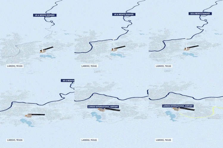
A custom animated map becomes the visual investors remember.
Animated transport overlays and amenity callouts make geography click.
A bespoke map immediately sets your property apart.
Multi-zoom from continent to street level — they get it in 15 seconds.
2x
Faster investor comprehension
100+
Custom maps produced
15s
Average viewer attention capture
5-Star
Client rating average
We don't just create content — we build visual systems that help our clients close deals faster, communicate clearer, and stand out in crowded markets.
Mir Taki
Founder, 180RE

What you get
Zero templates. Every map is designed from scratch around the specific geography, infrastructure, and story your audience needs to hear.
Bespoke 3D or 2D animated map showing property location, surrounding roads, highways, and landmarks.
Animated pins and labels highlighting nearby amenities, transit, schools, and points of interest.
Highway access, transit routes, airport proximity, and drive-time radii animated on the map.
Seamless blend from real drone footage into animated map for maximum visual impact.
Competition, demographics, or traffic data visualized as animated data graphics.
Continental, regional, and street-level views that tell a complete location story.



 Powerful output.
1hr
to define key selling points
3 days
custom visual style + layout
1 week
full motion graphics production
4+
formats for IM, web, and social
Featured work
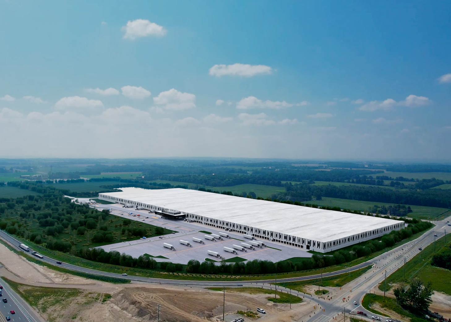
From a warehouse to a continent-wide story.
DSV needed to visually communicate the scale and strategic value of their North American operations to clients and partners.
Scalable asset used across presentations, leasing, and brand storytelling — giving DSV a clear, powerful visual of their continental presence.
Who this is for
If location is your strongest selling point — we make sure everyone sees it.
Replace static map screenshots with animated location stories that make your IM the one investors remember.
Get startedShow tenants exactly what surrounds the property — access, amenities, and competitive context — in 30 seconds.
Get startedHelp companies visualize logistics advantages with animated transport and infrastructure maps that sell the region.
Get started“The animated map 180RE created for us became the single most-used asset in our investor deck. It communicates in 15 seconds what used to take a 10-minute explanation.”
DSV
Marketing Director, North America
Everything you need to know before getting started.
Still have questions?
Book a free consultation →